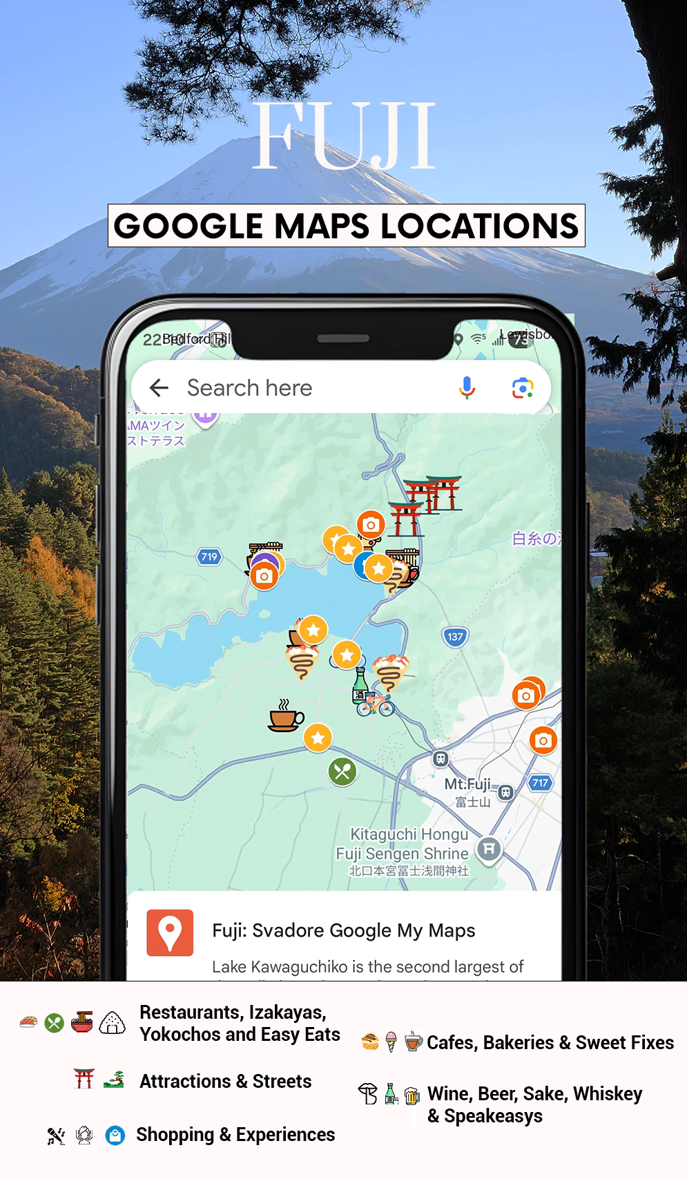
Mount Fuji & The Five Lakes Interactive Map
$14.00
How do you approach a monolith that is as much a spiritual icon as it is a logistical puzzle? Most people treat Mount Fuji like a drive-by photo op, they hop off a bus, snap a grainy selfie at Lake Kawaguchi, and wonder why it feels like a tourist trap.
This Fuji Google Map is the antidote to the basic. It’s the result of my years living in Japan. I’ve updated every single pin for 2026 to ensure you aren’t trekking to a “hidden gem” that’s now a parking lot.
Fuji isn’t just a mountain; it’s a mood. It’s the silence of a 400-year-old shrine at 6:00 AM, the steam rising off an infinity onsen, and the way the light hits a bowl of huto noodles just right. This map is my personal diary of the region.
What’s Inside This Fuji Travel Map?
Forget the “Top 10” lists that send everyone to the same crowded pagoda. This map gives you the “Svadore” perspective: elevated, slightly sarcastic about the crowds, and deeply obsessed with the details:
-
The “Front Row” Views: I’ve pinned the exact GPS coordinates for the clear-day vistas that look like a Hokusai print. No power lines, no bus tours, just you and the volcano.
-
The Onsen & Ryokan Shortlist: My curated edit of where to soak. I’ve separated the “architectural masterpieces” from the “authentic local bathhouses” where you might be the only foreigner in the water.
-
High-Altitude Carbs & Caffeine: From the specific bakery that makes “Fuji-shaped” bread (it’s actually good, I promise) to the minimalist coffee stands hidden in the forest where the pour-over is an art form.
-
Ancient Shrines & Forest Trails: The moss-covered steps of Sengen Jinja and the quiet paths through the Aokigahara forest fringe that feel like stepping into a Studio Ghibli film.
🗻 The Fuji Insider Preview (2026)
To get you ready for the altitude, here is the “Intel” from my most recent scouting trips:
When is the best time to see the Peak?
-
The Winter Clarity: If you want that crisp, snow-capped symmetry, come in winter. My map includes the best spots for “Reverse Fuji” (the reflection in the lake) which is clearest when the air is freezing.
-
The Shibazakura (Pink Moss) Window: Everyone flocks to the flower festivals in May. I’ve pinned the “exit strategy” routes to avoid the three-hour traffic jams.
Description
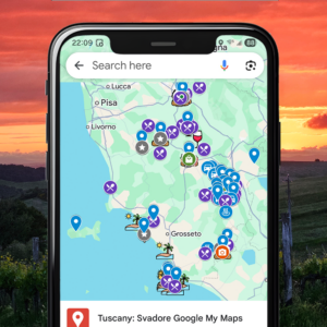
How to install? Installation is easy! After purchasing, you get direct access to my Google Maps Locations. To make it even easier you can follow a really short installation guide (PDF) that is included in your download. Why is this helpful for me? Understandably, you want to save the tips you read on my travel blog; a great place to save them is on Google Maps. However, it can be very time-consuming to find all the correct locations. Now you can simply add all locations with a few simple clicks by getting access to my private Google Map! What are Google Maps locations?
By downloading my Google Maps Locations for a country, you will see my pointers in your Google Maps on your phone or laptop. The great thing is that when I add more places, your map will automatically be updated as well!
What device can I use this on?
The map is accessible on any device that supports Google Maps. At checkout, you provide us with your Google email address. You need to be logged into that Google account on your device in order to load the map.
Reviews
There are no reviews yet.