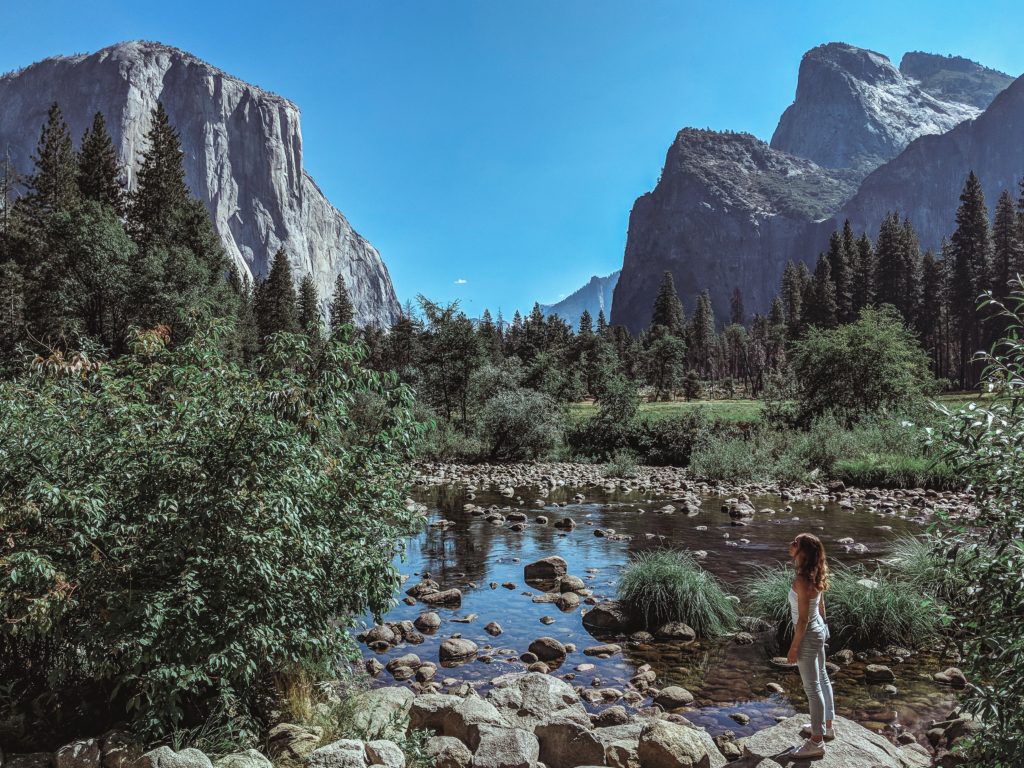
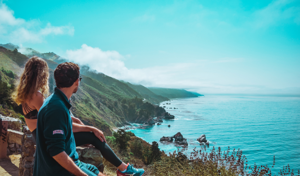
A drive down the iconic Pacific Coast Highway 1 is a must on everyone's bucket list. It's an iconic road trip. But it has so much more to offer than just its stunning ocean views.
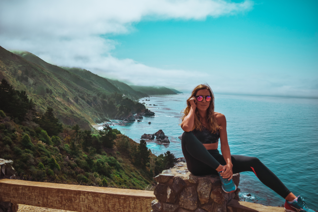
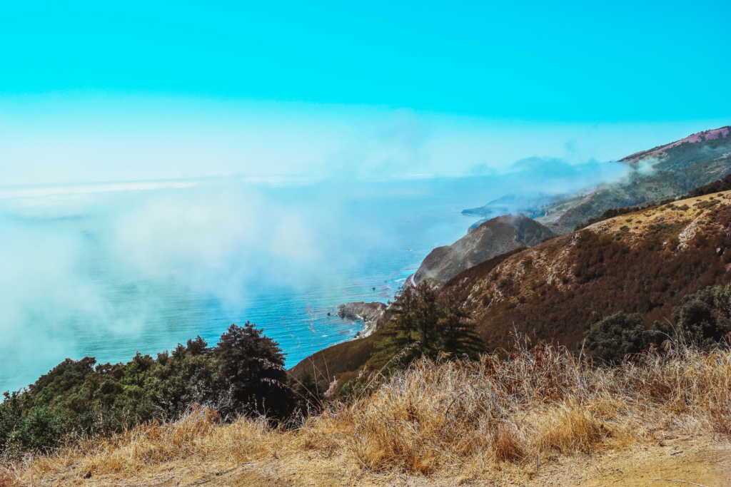
Carmel was the perfect base camp for a day trip down Pacific Coast Highway 1. For more on Carmel, read my article 7 Things to Do in Carmel by the Sea. We left early at 8:30AM Monday morning to avoid the crowds over Labor Day weekend and headed South towards Big Sur. The drive down Pacific Coast Highway 1 is known as one of the most scenic drives in the world. As you coast on top of high cliffs alongside the highway, you can see the coastline engulfed by fog ahead as you head down towards LA. We didn’t do the whole Big Sur road trip to LA due to lack of time, but we drove 1/3rd of it.
7 Iconic Stops on Pacific Coast Highway 1:
- Big Sur Campground
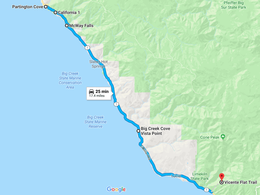
- Partington Cove Trail
- California Condors
- Burns North Vista Point
- McWay Falls
- Big Creek Cove Vista Point
- Kirk Creek: Vicente Trail
What to Know Before You Hit the Road
Believe it or not there are not plenty of tips and guides on what to do in the area during your drive down. Pat and I had to fend to ourselves once there to determine what the best plan of action was. What we came to realize is that you would have to spend at least 3-5 days in the area, stopping to hike up and along the coast. With only 1 day available, this is how we ended up doing on a one-day trip down Highway 1.
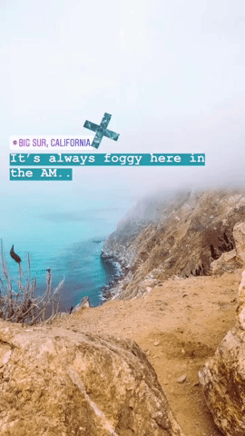
The drive down in the morning was foggy at first. As you begin to move away from the Bay area and Carmel, the fog suddenly begins to clear as you drive into Big Sur. We had the chance to stop by the famous Bixby Bridge, known for being the longest concrete arch bridge in California, but to be honest we were not taken aback by it despite the flock of people pulling over to snap pictures of it. There were better vistas farther down the coast so we decided to continue onward.
TIP: As much as you are tempted to stop, pullover, and take millions of pics of the coast on the way down to Big Sur, I recommend you wait. It's really foggy in the morning so you won't get a clear view of the coast. Stop on the way back up to Carmel or San Fran for better lighting!
1. Stop by Big Sur Campground
The most beautiful part of your drive down Pacific Coast Highway 1 begins after Big Sur and the Julia Pfeiffer State Park. Before proceeding, Pat and I stopped by one of Big Sur campground's many convenience stores to grab a coffee and some snacks. The number of convenience stores were going to be limited from here on out and we were going to be hiking till 3PM, so it's best to stock up on food early on.
2. Partington Cove Trail
Now before I begin talking about this trail located at the start of Julia Pfeiffer State Park, know that the trail was not clearly marked so what we thought was a short and kind of 'meh' hike, actually had a second part to it, which was much cooler. If you know me you know I'm kicking myself right now for being right there and missing this spot. I just assumed that the bridge on the side of the trail led back to the cove again. And if there is one thing one of my favorite Bucknell Marketing Professor's taught me, it's that you should never ASS-U-ME, because you will ultimately make an ass out of u and me. In my defense there were no clear directions written anywhere online or at the park, so that's why I'm here to make sure you don't make the same mistake I made.
Park your car on the side of Pacific Coast Highway 1 and make your way down the gate that seems closed, but really isn't. It's closed for cars, but there is an opening for hikers. The hike is all downhill. Once you make it downhill you will see a small cove. NOTE: This is not the end of your hike! The trail will continue to a dead end, which is a stream. To the right of this dead end you will see a bridge. Do not assume that the bridge leads back to the first cove because it doesn't. It leads you to the other side of the cove where you will get a beautiful view of the Pacific Ocean from the tip of the cliff. It's an extra mile or so but so worth the hike. Wish I could've done it...but I guess you'll have to tell me all about it!
3. California Condors
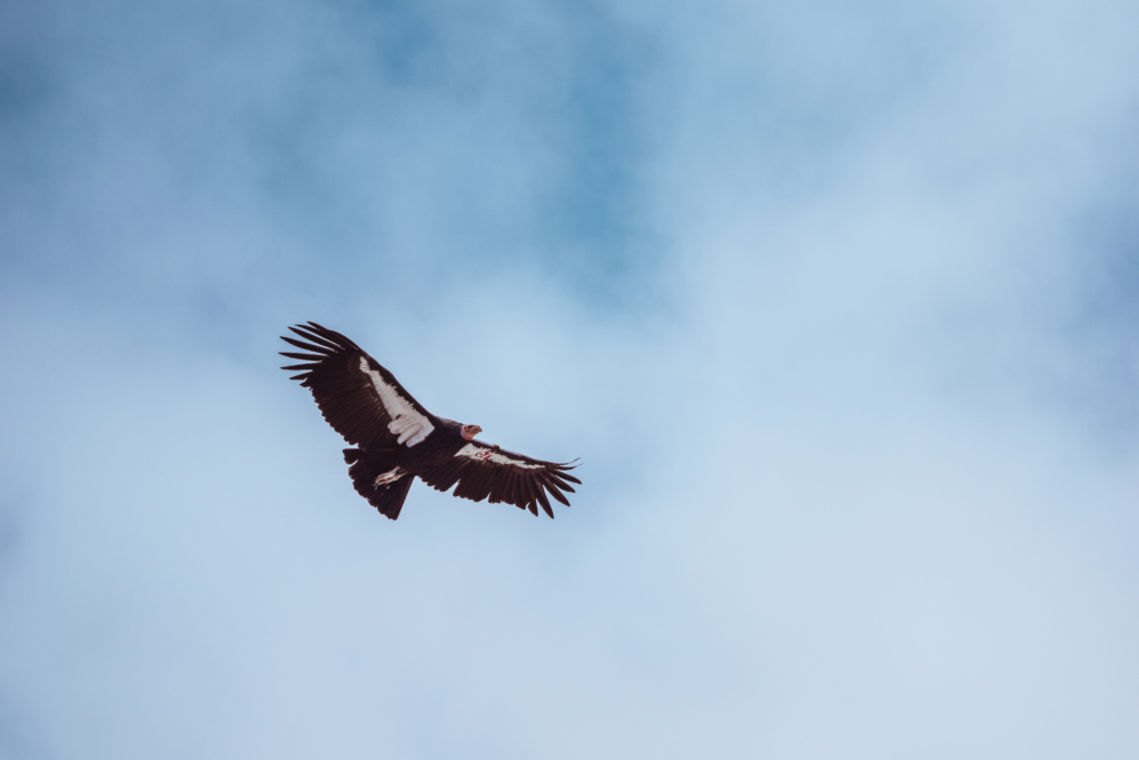
Just a 1 minute drive down South from Partington Cove, we stopped by Burns North Vista Point. During our stop at Burns North Vista Point we experienced an incredibly rare sighting. The California Condor, the largest wild bird in North America, had been extinct since 1987. Efforts had been made to keep this species alive and we witnessed not one, but TWO, up close and personal! Usually Condors don't fly too close to the ground, but for some reason these 2 had decided to make their way about 20 ft from where I was sitting on vista point. The bird was HUGE, and I'm not going to lie when I say I was scared it was going to snatch me and fly away. These birds are 24 lbs (that's 11 kg), 50 inches long (1.25 meters) and have a wingspan of 109 inches...that's 2.77 METERS!!! Needless to say, I'm sure if you had this flying next to you, you'd be scared it would snatch you to.
4. Burns North Vista Point
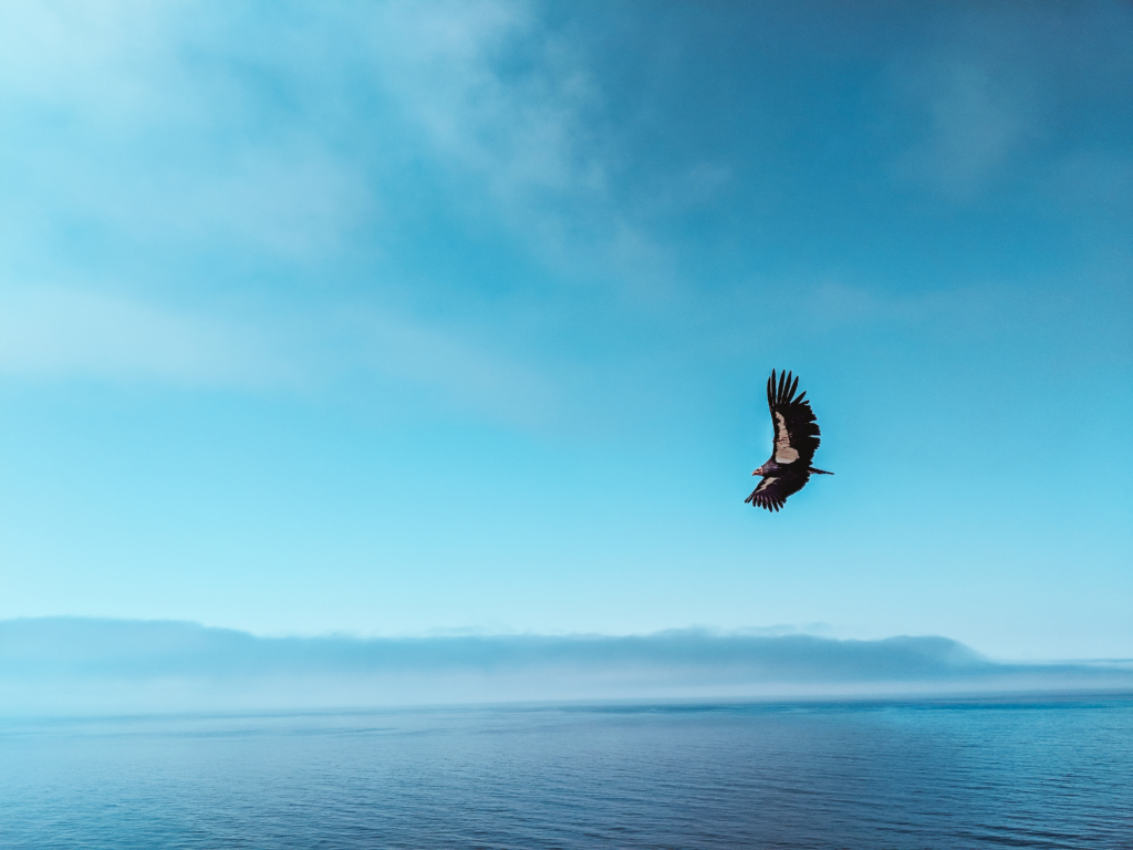
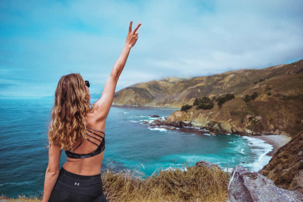
After about 5 minutes the Condor left...and I was finally able to relax. This point offers views of the blue Pacific Ocean as it surges gently against the green and gold mountains of the California coastline on Pacific Coast Highway 1. The seaside cliffs fade into the distance as they are engulfed by clouds. Add in the Condors, and it feels like a scene straight out of Jurassic Park!
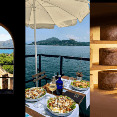
5. McWay Falls
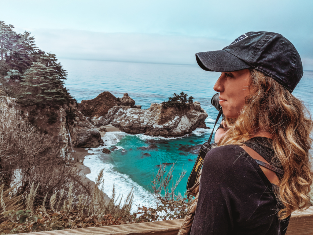
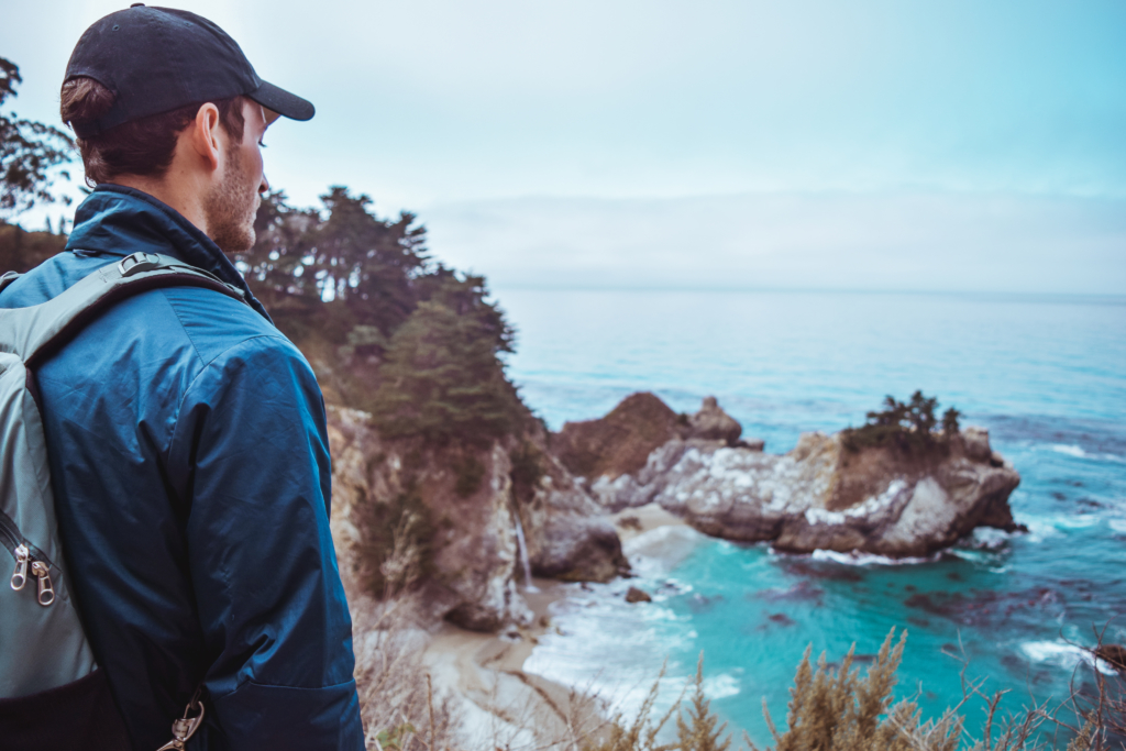
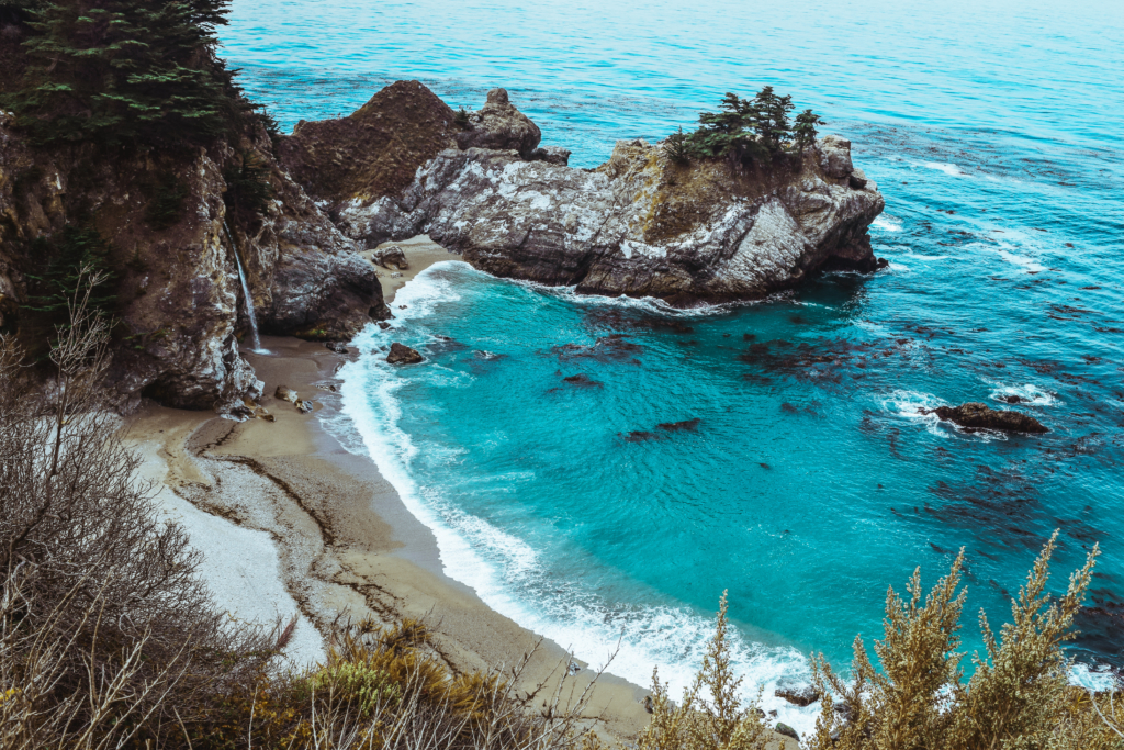
The ever so talked about McWay Falls. I got mixed messages online from people saying you could no longer hike down to the falls and others saying you could. You have the opportunity to park on the side of Pacific Coast Highway 1, if you are lucky enough to find a spot, or will have to pay to park in the lot across the street. Once we arrived at McWay Falls, we found out we could not hike and were limited to a 2 minute walk to an overlook. The iconic turquoise water, sandy beach, 80 ft waterfall and rocky outcroppings where there just like we imagined (once we were able to burrow through the crowd for a picture). The hike down to the falls is no longer available in order to conserve wildlife I believe, but if you are lucky and find it open when you are there, go for it!
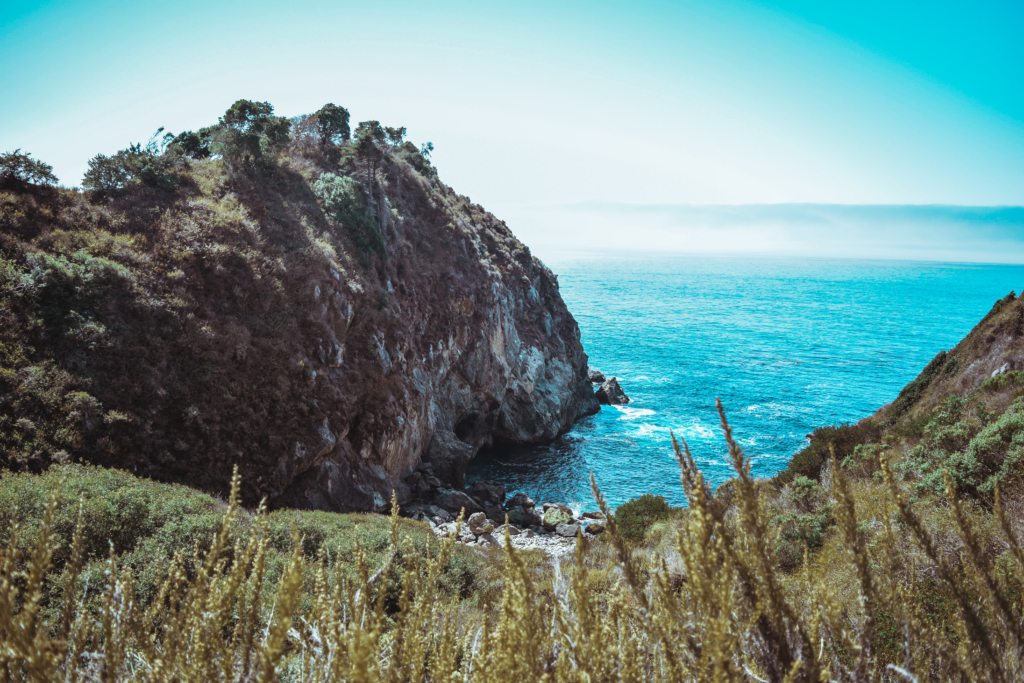
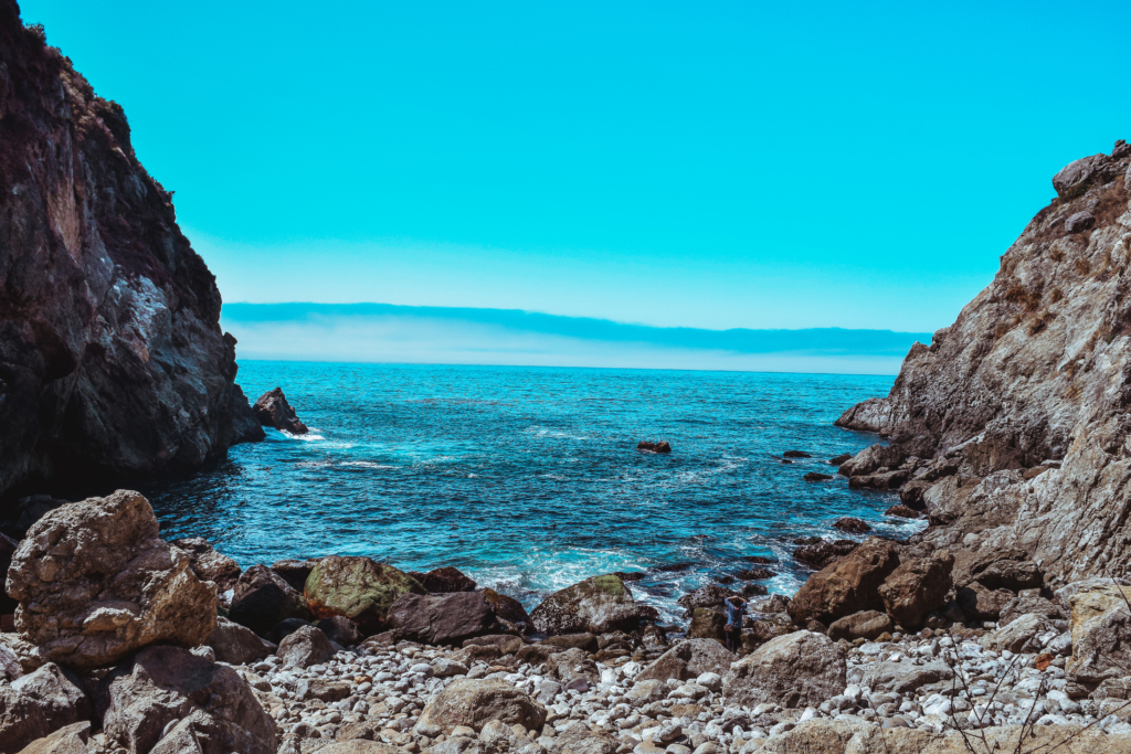
6. Big Creek Cove Vista Point
As promised, here comes another jaw-dropping vista point with Big Creek Bridge in the backdrop, which in my opinion is equally as eye-catching if not more than Bixby Bridge. The beaches below are part of a conservation area so not open to the public. That's probably what makes this view that much better, the fact that it's not flooded with people throughout the year.
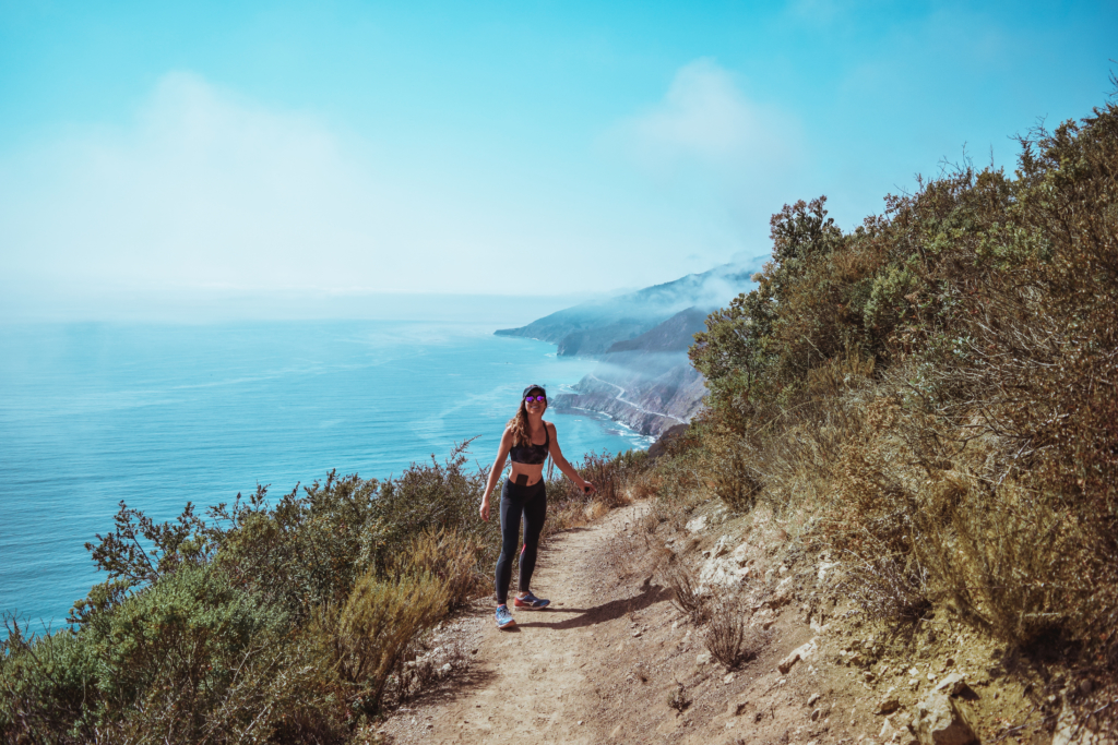
7. Kirk Creek: Vicente Trail (Vincente)
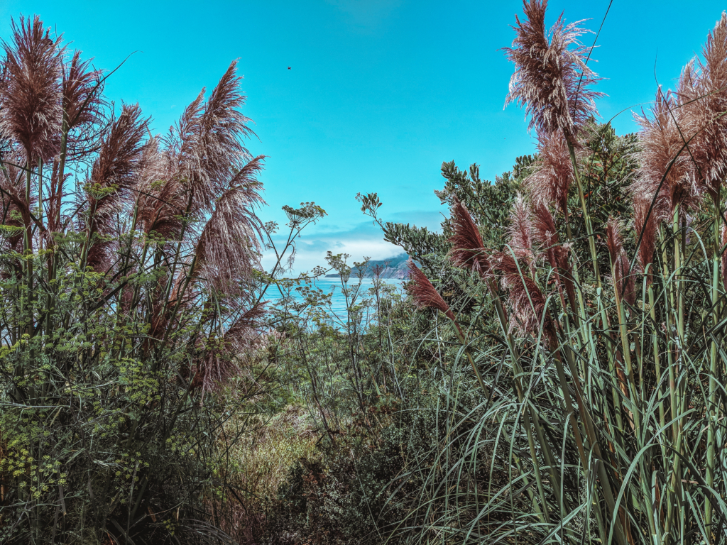
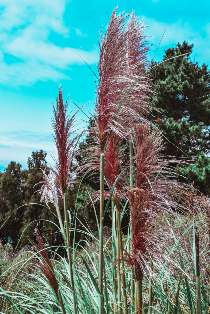
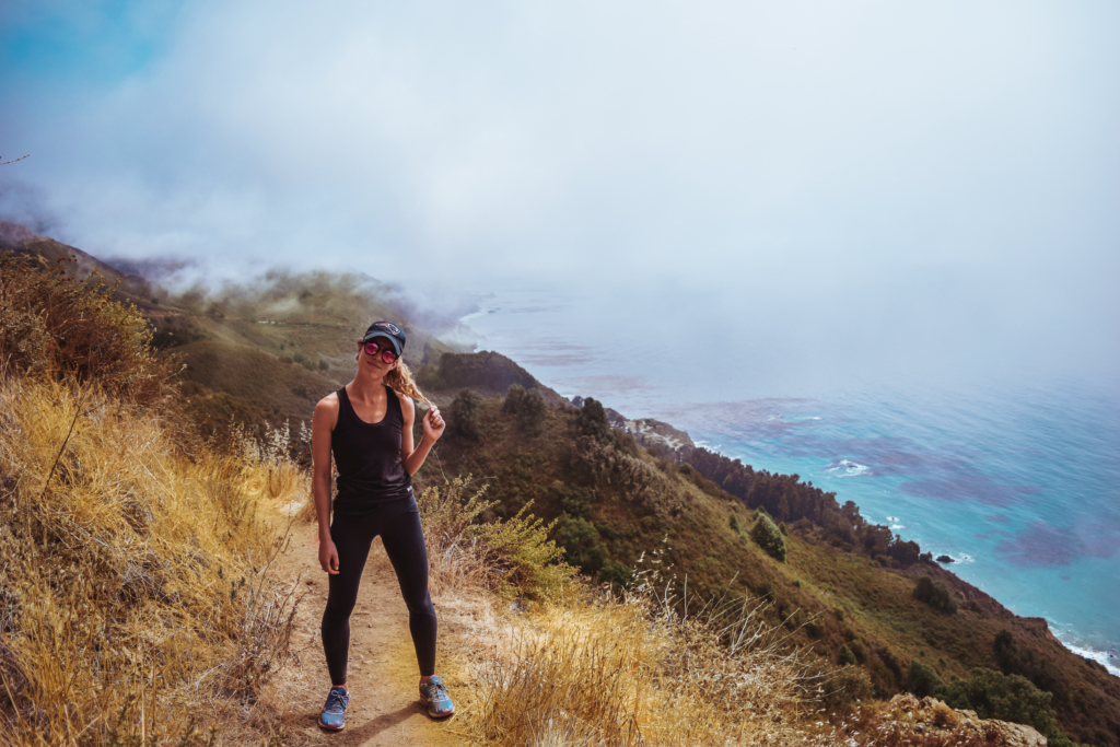
This is the part of trip where you hike anywhere from 4 miles to 10 miles depending on your pace, your time constraints and your will power. There are SO many trails to choose from around Big Sur and Pacific Coast Highway 1, the problem is it is never easy to find them online and plan beforehand. It really is an of the moment decision. Many of the trails are inland, but if you are looking for a coastal trail this might be the one for you. Located directly across from Kirk Creek Campground is the start of the Vicente trail, spelt Vincente with an n on the sign for some reason. Park your car on the side of Pacific Coast Highway 1 and prepare to indulge all the senses and hike up to 1800 ft in elevation! This is definitely a more strenuous hike since the majority of it is uphill. If you want to get up in less than 2 hours you will have to hike at a brisk pace the entire time. The best views happen within the first 2 miles of the hike till about 1000' of elevation, so you can always do this shortened version if need be. At the beginning of the hike you will walk through SUPER cool Japanese silvergrass. It's native to Southeast Asia, but is also found in some parts of the U.S. This beautiful grass can only be seen during the months of September and October.
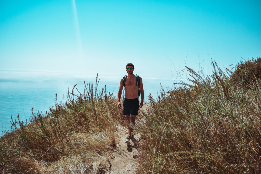
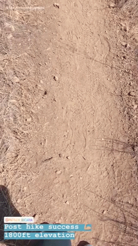
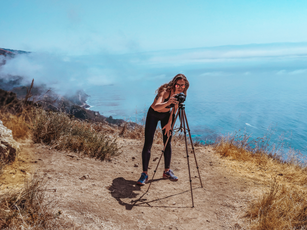
For the first 2 miles, you walk North and uphill along the Big Sur coastline getting higher and higher at every turn. You will find yourself whizzing in and out of canyons, walking between a mix of rocky and yellow fields and open grassy areas. But one thing will remain the same throughout, and that's the views of the mountains overlooking the ocean. At one point the canyons will start to get a bit denser and you can finally catch a break from the sun under the shade of some redwood trees. After about 3.5 miles, you will reach the final overlooking cliff before heading into Espinosa Camp. It will be obvious when you've reached this point because there will be a large open space with a large rock for you to sit on. This is where Pat and I chose to cut our trip short and turn around.
From here onward, you can choose to continue up to Espinosa Camp and get to the top of Hare Canyon. The rest of the hike up leads away from the coast. When you reach Hare Canyon you will have views of golden yellow fields, hugged by green hills on each side and turquoise waters at the end.
It was 3:30PM by the time we finished our hike and we were starving. We tried to make it to Nepenthe, a beautiful restaurant and bar that overlooks the coast right before Big Sur Campground, but like many places in California, the grill had closed at 3PM and wasn't going to reopen till 5PM. We were too hungry to wait so stopped by one of delis near the Big Sur entrance and grabbed a sandwich. But if you end your hike earlier, I recommend you stop here for a drink and some food and enjoy the views! After our bite we continued back up to Carmel, where we stopped by Point Lobos State Park along the way before heading back to our hotel.
Given that Pacific Coast Highway 1 is so long, it's hard to pin down what you want to do exactly and the best plan of action. That's why I've shared with you my favorite stops from top to bottom for a day trip from Carmel by the Sea to help you plan your trip. With all the options out there and not much information on the many hikes, I hope this serves as a good starting point and guide to many of you.
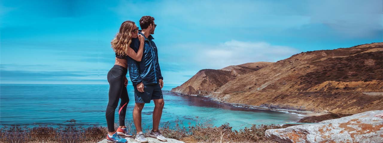
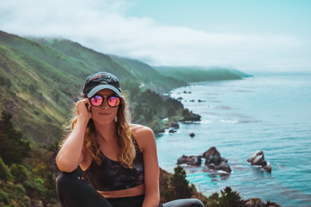
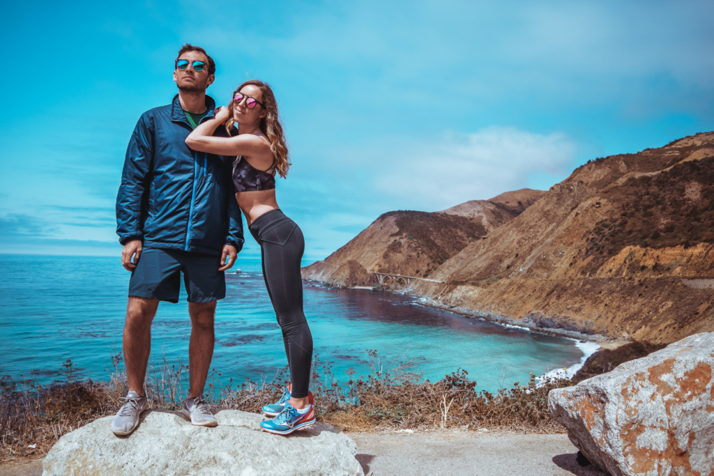
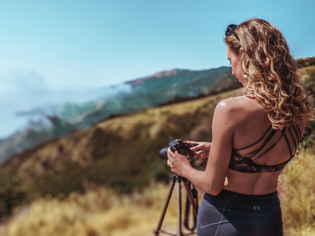
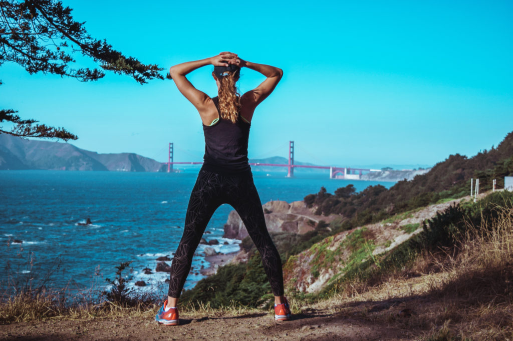
Get my look!

Under Armour Leggings

Onzie Sports Bra

5 comments
I’ve driven down Highway 1 many times, but have never done much hiking! Thanks for sharing these trails!
I would LOVE to visit the California coast! California is so high on my list. There is so much to see in the whole state. There is desert, mountains, beaches, city! So much to explore.
When I lived in California, I have driven this highway 3 times from beginning to end; but not all at once! I L O V E it and miss it V E R Y much. I know I will never see it again, too old and this stinking GD virus crap.
Never say never..You might find yourself back there in the future and have the chance to re-explore it through a different lens! I find that every year as I get older, traveling to a destination I’ve been to before is always different. It’s like I experience it and view it through a different lens every time 🙂